Orto-Tokoy Reservoir
Issyk-Kul Region
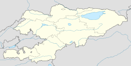
Longitude: 75°57′20″
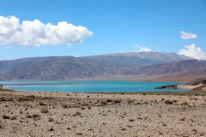
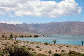
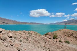
The Orto-Tokoy Reservoir is a picturesque, artificial reservoir in Kyrgyzstan that was constructed between the 1940s and 1960s.
The Orto-Tokoy Reservoir was created artificially on the Chu River to provide water for irrigation. Water intake occurs during the winter and spring periods, when precipitation in the region significantly increases. Subsequently, the water is used to irrigate agricultural land. The water level in the reservoir varies greatly depending on the season. Usually, the reservoir is quite full at the beginning of summer, but by September, the water level drops significantly, leading to a decrease in its size.
Reservoir geography
The Orto-Tokoy Reservoir is situated on the Chu River, approximately 2 km west of the village of Orto-Tokoy, on the border of the Naryn and Issyk-Kul regions. It is located about 15 km from Lake Issyk-Kul (in Balykchy).
Excursion route
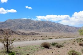
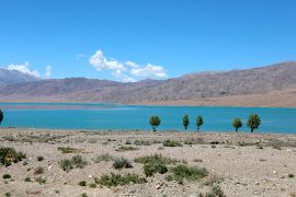
To reach the Orto-Tokoy Reservoir, you can take a trip along the southern coast of Issyk-Kul via the highway to the Boom Gorge, bypassing the city of Balykchy. The road runs along the southern shore of the reservoir, where you can stop to admire the scenery and even swim in the summer.
Regarding walking along the coast, the southern coast is more gently sloping and stretches for 10 km, while the northern coast is rockier and more winding, stretching for about 20 km.
Author's note
Overall, the Orto-Tokoy Reservoir is a picturesque destination with stunning mountains surrounding it. It is highly recommended to visit this location if traveling along the southern coast of Issyk-Kul to or from Bishkek.
If you have any questions, comments, or messages, feel free to leave them on the article's discussion page.
Images of the reservoir
-
Mountains near the reservoir
-
Near the southern shore of the reservoir
-
Reservoir shore
-
Panorama from the northwest


