Template:Waterfall/doc
Appearance
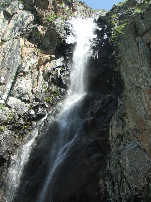
Ak-Sai waterfall
Ala-Aracha waterfall
Country:
Region:
Chui region
Mountain range:
Kyrgyz range
Ravine:
Coordinates:
Latitude: 42°32′48″
Longitude: 74°31′3″
Longitude: 74°31′3″
River:
Ak-Sai river
Waterfall height:
≈ 30 meters
Waterfall width:
≈ 5 meters
This template can be used at articles about waterfalls. Use following code:
{{Waterfall
|waterfall name =
|image =
|description =
|country =
|region =
|mountain range =
|ravine =
|river =
|coordinates =
|waterfall height = ≈
|waterfall width = ≈
|map =
}}
- Fill the information to the form like it is shown below:
{{Waterfall
|waterfall name = Ak-Sai waterfall
|image = Ala-Archa_14.jpg
|description = Ala-Aracha waterfall
|country = Kyrgyzstan
|region = Chui region
|mountain range = Kyrgyz range
|ravine = [[Ala-Archa gorge|Ala-Archa]]
|river = Ak-Sai river
|coordinates = Latitude: 42°32′48″<br>Longitude: 74°31′3″
|waterfall height = ≈ 30 meters
|waterfall width = ≈ 5 meters
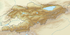
|map = {{Location map | Kyrgyzstan | AlternativeMap = Relief Map of Kyrgyzstan.png | width = 246 | float = center | caption = Ak-Sai waterfall on the map of Kyrgyzstan | alt = Map of Kygzyzstan |label = Ak-Sai waterfall | position = bottom | lat_deg = 42.5645 | lon_deg = 74.4824|mark=Blue_pog.png}}
}}


