Ala-Archa Gorge
Longitude: 74°29′32″
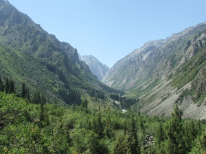
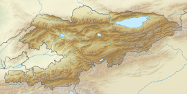
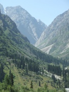
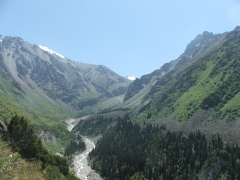
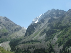
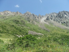
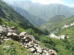
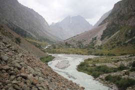
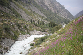
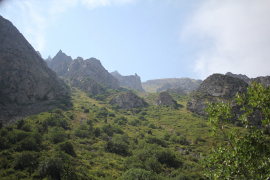
Ala-Archa gorge (from Kyrgyz, meaning a location where many Juniper plants grow of the genus Juniperus) is located in Kyrgyzstan, 39 km south of its capital city Bishkek. The gorge is part of the Kyrgyz range of the Tian Shan, a large system of mountain ranges in Central Asia.
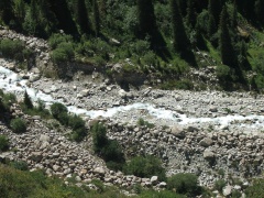
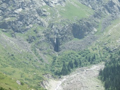
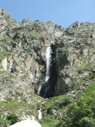
There is a mountain river with the same name as the gorge, as well as the Ak-Sai Waterfall, which can be reached in a day by walk. Tourists from all over the world are welcomed by an alpine camp at the beginning of the Ala-Archa National Park. At the end of the gorge, one can reach Semyonov Tian-Shanskyi Peak, which has a height of 4895 meters.
Questions and comments about the topic can be posted on the discussion page. Feel free to post your comments.
Gorge geography
The gorge is located on the south of Kyrgyzstan and is part of the Kyrgyz range mountain system. The nearest big city to the gorge is Bishkek, the capital of Kyrgyzstan.
The maximum height of the gorge at the Ala-Archa river source is approximately 3100 meters and the lowest height near the entrance to the gorge is about 1560 meters above sea level, resulting in a total vertical drop of 1540 meters. The total length of the Ala-Archa gorge from the entrance to the Ala-Archa National Park to the source of the river is ≈20 kilometers.
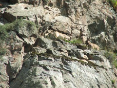
The flora and fauna of the region is quite rich. You may find different mountain flowers, grasses, mushrooms and other types of plants during the trip to the valley. Some parts of the gorge were planted with pine and birch forests. Mountain goats, gophers and wolves populate the local mountains, especially during the wintertime.
Gorge tours
Ala-Archa Valley is divided into two main gorges. The first one begins in the north and ends in the south on the way to Semenov Tian-Shanskyi peak; the whole way lasts approximately 20 km. The second one takes direction from the northeast to the southwest and is approximately 6 km long. At the end of this path, you can reach Ak-Sai Waterfall. The entire tour from the beginning of the valley to its end takes around 3 km. The height of the waterfall is approximately 30-40 meters.
The second valley also has an offshoot of another 4 km canyon. For a general understanding of the main locations that can be visited, see the layout of the image below.
How to get to the gorge
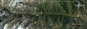
The nearest city to the gorge is Bishkek, the capital of Kyrgyzstan, and you can get from the city to Ala-Archa by public transport. The nearest village to the gorge is Kashka-Suu. The journey from the city centre to the entrance of the valley is about 25 km. There are several ways to get to Ala-Archa from the city. You should go along Sovetskaya street towards the mountains in the direction of Vorontsovka (which is now called Bir-Bulak village). After passing Vorontsovka, you should go straight to Baitik village. After passing this village, you must turn left at the first corner and keep going to Kashka-Suu village and then directly to Ala-Archa. See the scheme of the whole route from the city to the valley.
You can also use the services of the many local travel agencies that organise regular tours to the gorge, as well as guided tours through the valley.
Gorge photo gallery
-
General view of the valley
-
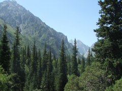
Ates, dense vegetation and high mountains
-
Ala-Archa Valley
-
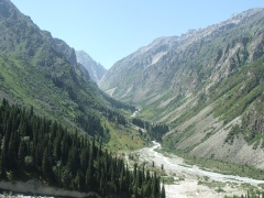
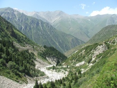
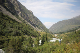
General view of the Ala-Archa gorge toward to the waterfall
-
The Ak-Sai River is a tributary of the Ala-Archi
-
View of the Waterfalls
-
Eternal ice on the tops of local mountains
-
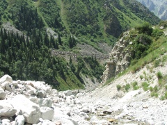
Huge rocks in the gorge
-
General view of the Ala-Archa from east to west
-
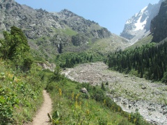
Path to Ak-Sai Waterfall
-
Rocky Mountains and the top of the gorge
-
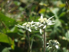
Edelweiss flower grows in Ala-Archa
-
General view of the Ak-Sai Waterfall
-
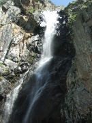
Near to the waterfall
-
Gorge view from the waterfall
-
Local fauna - mountain goats
-
Main gorge - view deep into the gorge from north to south
-
Main gorge - view from south to north
-
Gorge mountain ranges
-
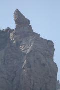
Rock "Dragon's Tooth"
-
Coming back home
Interesting facts
- There are many ski resorts in the local mountains of the valley, where you can ski from the end of November to March.
- The territory of the gorge has the status of the national park with the same name, which is often visited by different state officials during official visits.
- There is a route to the Ratsek hut (3300m asl) through the gorge valley. It takes about 8 km (about 4-5 hours one way) from the car park.
- At the Ratsek hut, there is an opportunity to sleep in tents/cabins to recover strength and prepare to climb the Uchitel peak (4527m asl) or other peaks of 4000 meters.
Additional note
Ala-Archa gorge attracts many people from different countries with its beautiful nature, mountains, and rivers. The gorge is located very close to the capital city of Kyrgyzstan, Bishkek, and it allows for easy and fast access to the valley. If you decide to visit Kyrgyzstan, it is strongly recommended to visit this beautiful place.
Dear all, it is necessary to abide by safety rules while visiting mountains. Please pay attention to your tour kit, including shoes, clothing, and other personal items. Be very careful when you go from one location to another.
All those who have already been to Ala-Archa or are planning to visit this one of the most beautiful places of Kyrgyzstan, feel free to post your comments, edits, and any questions related to the article in the discussions page.


